


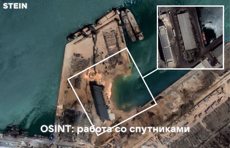
Nowadays, some tools allow you to get an image of the area in the optical, infrared and radio ranges in one click. According to satellite images, hundreds of specialists are monitoring the situation in places of military conflict, monitoring forests, and conducting various types of investigations .
— This post contains free resources and projects with satellite data and various programs for processing this data.
1.Copernicus Open Access Hub– a database of images from 6 Copernicus Sentinel satellites. Here you can find freely available data from Sentinel-1, Sentinel-2, Sentinel-3 and Sentinel-5P . There is an API and you can create your own search scripts.
– There is the possibility of synchronous access to the latest images and asynchronous access to historical information.
2.Sentinel Hub Playground– Database of images from Sentinel 2/Landsat. The database is updated every 5-10 days with new images. Here you can track various GIS variables, such as NDVI or NDWO. EO Browser makes it easy to watch in time-lapse mode. Resolution – 10 m/pixel.(Identifying infrastructure changes in Myanmar, Nigeria and the South China Seafrom Bellingcat)
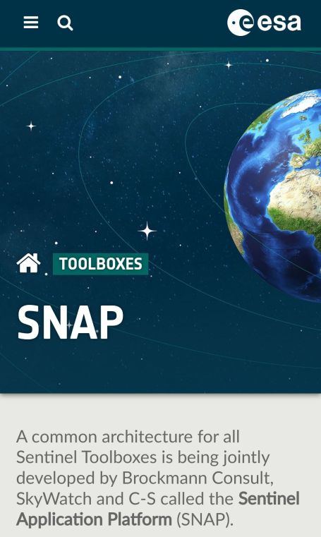
3.ESA SNAP– Created by the European Space Agency, which allows various enhancements and manipulations of remote sensing data. Allows you to view gigapixel images, work with layers, visualize statistics and build graphs.
4.GeoVisual Search– A search engine that allows users to visually query images for similar geographic objects (guide: Searching the World Wide World)
5.Google Earth Engine– Satellite images and analytical database in the public domain. Almost any satellite images collected by NASA, NOAA, USGS, etc. are available (guide from habr)

You must be logged in to post a comment.