


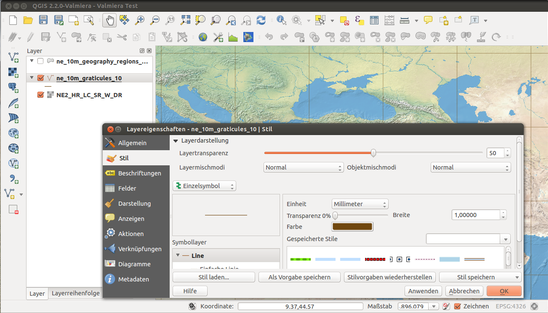
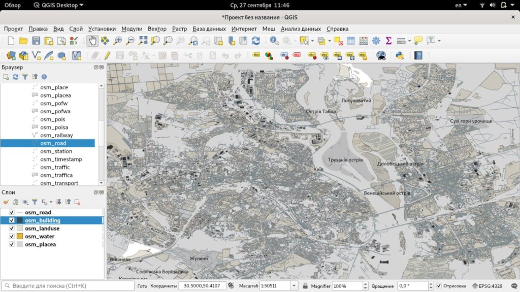
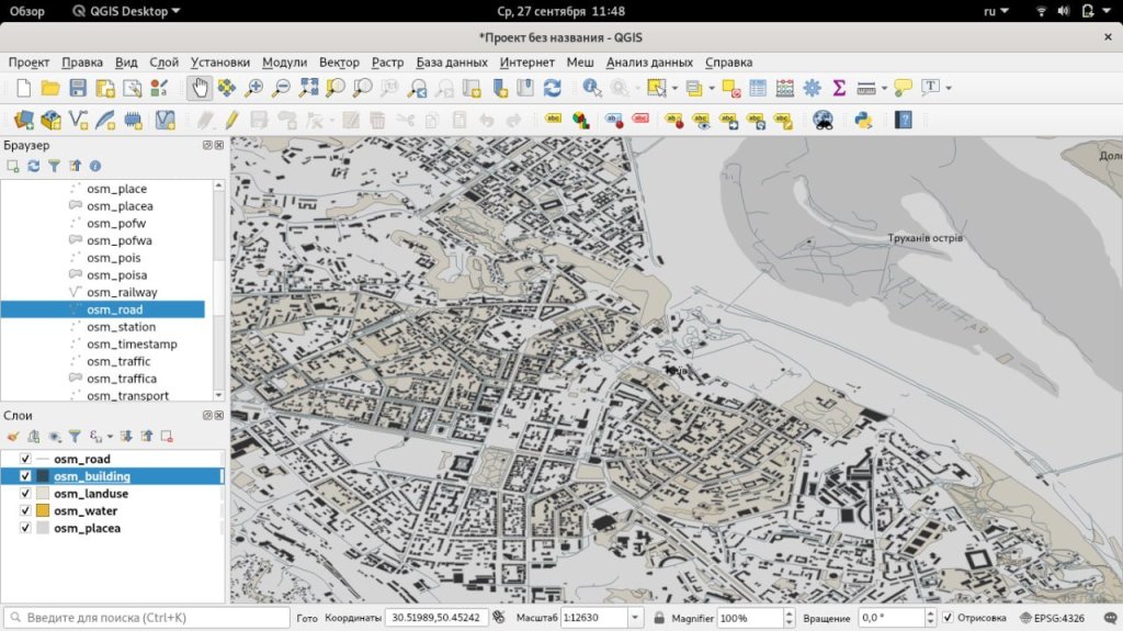
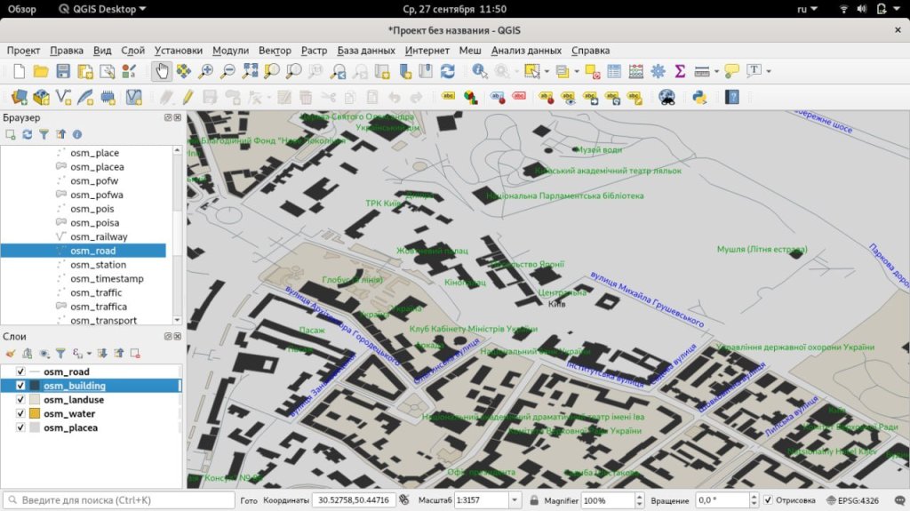
Hello, does anyone use QGIS for cartography? Quantum GIS
Quantum GIS, is a free cross-platform geographic information system consisting of a desktop and server part: Sound
QGIS Desktop is a desktop GIS for creating, editing, visualizing, analyzing and publishing geospatial information. By “QGIS” they often mean QGIS Desktop .
QGIS Server and QGIS Web Client are server applications for publishing projects created in QGIS Desktop on the web via services compatible with OGC standards (for example, WMS and WFS ).
https://qgis.org/en/site/forusers/download.html
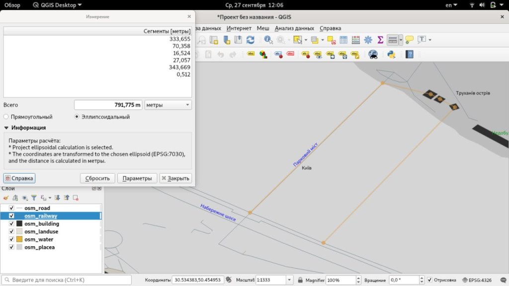
https://download.geofabrik.de/europe/ukraine-latest-free.shp.zip (over a Gig)
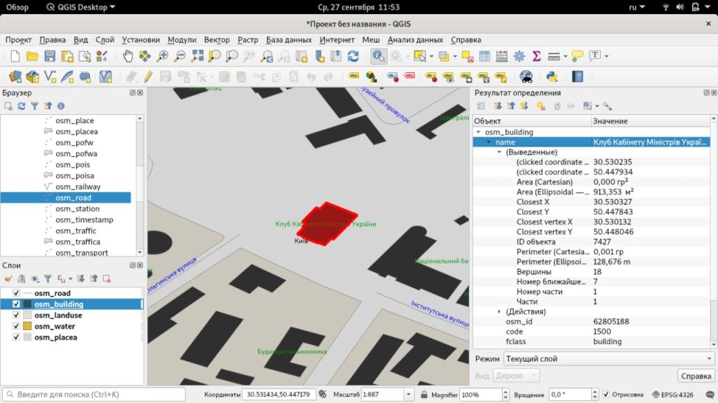
and add your layers with your data.
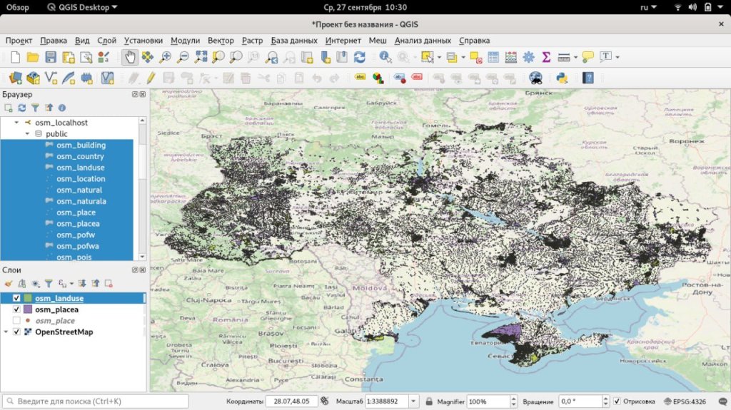
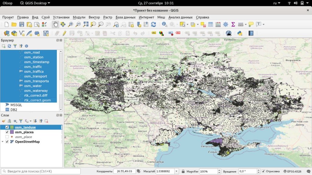
Fortunately, this process is performed only once.


Comrades, this discussion needs to be moved to a DM or at least to a chat room.
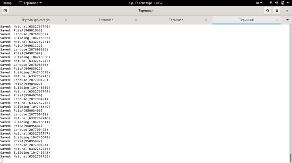
Yes, in principle, I’m finished, I’m ready to share the material for the good of the cause
Base of the Sudoplatov Battalion. Zaporozhye.


You must be logged in to post a comment.