


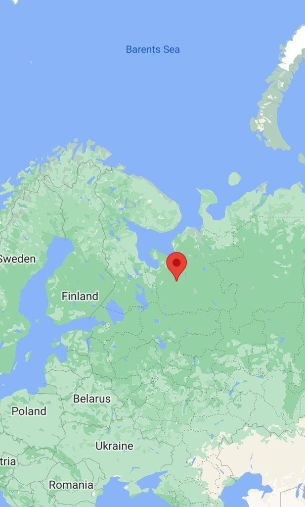
Of the large number of NOTAM and NOTMAR announced by the Russian Federation for the coming days, we are particularly interested in the launch notification from Plesetsk in the direction of the Kura test site.

The site is similar in configuration of closed zones to the 2021 notification announced for the period from September 29 to October 1 and canceled on September 27.
Notification text:
I0932/22 NOTAMN
Q)ULLL/QRTCA/IV/BO/W/000/050/6558S04514W245
A) ULLL
B) 2202150000 C) 2202202359
E) USE OF THE AIRSPACE IS FORBIDDEN:
1. AREA: 631600С0412300В-625200С0420200В-624000С0412200В-622900С0402500В-624000С0394200В-624800С0393200В-625700С0401800В-6301200С4.
2. REGION: 644000С0431500В-644000С0440000В-640000С0440000В-640000С0424500В-644000С0431500В. 3. REGION: 683000С0492000В-692000С0511000В-690000С0522000В-682000С0503000В-683000С0492000В.
(ВР693 TYP/STR ANSHUKOV +74956966267).
F) SURFACE D) 1500 M AVERAGE SEA LEVEL
The launch did not take place. This, and the fact that the configuration of the zones differs from the usual zones for Topol-M, Yars and Sirena-M launches, suggests another attempt to start flight tests of the 15A28 Sarmat ICBM.
Kura Test Range (Russian: Ракетный полигон Кура́), originally known as Kama, is a Russian intercontinental ballistic missile impact area located in northern Kamchatka Krai in the Russian Far East. It is the destination for ballistic missiles which are test fired from other centers, and was chosen due to its remoteness and distance. It is 130 kilometers (81 mi) northeast of the settlement of Klyuchi and the military townlet is called Klyuchi-1, after the nearest settlement.
The center coordinates are 57°20′N 161°50′E / 57.333°N 161.833°E / 57.333; 161.833
Coordinates: 57°20′N 161°50′E / 57.333°N 161.833°E / 57.333; 161.833


You must be logged in to post a comment.